Trusted GPR Experts
Professional
Burial Locating
Experts
We deliver precise subsurface imaging, GPS data capture, and comprehensive burial management solutions — making complex field operations quick and easy.
1.8M+
Burials Discovered
20+
Years Experience
0%
Client Satisfaction
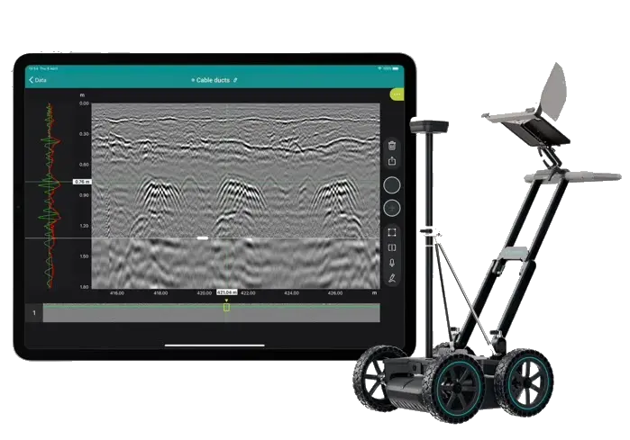
GPR Scanning
Advanced Subsurface Detection
Scroll